Horseshoe Curve
Somewhere to exercise US stock.
The latest version of this layout can be found on the Layouts page.
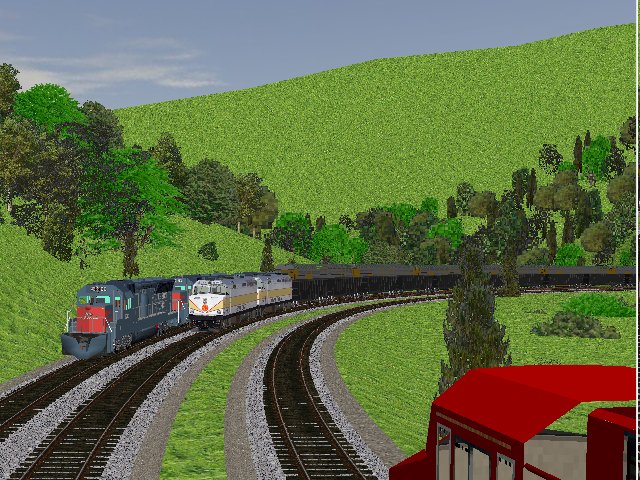
Prompted by some recent additions of some US loco models to the library, I noted (again) that we haven't got a decent US layout in the library, so I decided to make one. I know next to nothing about US railroading (I've only been to the US once, and didn't get much time to go train watching), so I expect there are lots of things wrong - including the type of locomotive. I choose the Horseshoe Curve (Pennsylvania) on the basis that I had heard of it, and after a little bit of research, it turns out to be quite a good prototype to model.
The Layout
The layout covers about 60 miles of route, from east of Altoona, over the hill to Johnstown and a few miles beyond. The Horseshoe curve is about halfway up the climb from Altoona to the summit at Gallitzin. Most of the line is three or four tracked, and there are numerous branches, yards and sidings.
Version 0.25 - 23/01/2014
- Most of mainline alignement straightened out.
- Added signals throughout mainline, and some pointwork. Mostly gleaned from cab ride videos such as http://www.youtube.com/watch?v=mqieazyDy-8
- Tweaked gradients and terrain.
Version 0.21 - 01/01/2014
- Tidied alignment of mainline
- Graded mainline
- Added river
- Some signals and pointwork added
Version 0.1 - 30/12/2013
First publication of the layout. Work so far includes:
- Creation of digitiser maps from OpenStreet Map, and suitable digitiser session.
- Layout of approx 60 miles of mainline from east of Altoona to New Florence (west of Johnstown). Double track throughout, with third line on east slope between Altoona and Gallitzin.
- Import of DEM data for terrain at 90m pitch around the line and 270m pitch further away.
- Basic grading of line west of Gallitzin using elevations taken from diagrams on http://sbiii.com/prrtrkch.html
- More detailed grading and straightening of east slope between Gallitzin and Altoona
- Addition of signals from available diagrams and trying to spot the signals on Google Earth (!)
- Some test trains on eastern end of layout (turning round at Gallitzin)
- Some trees planted.
Next Steps:
- Extend the detail grading, straightening and tweaking of the mainline west of Gallitzin.
- Add yards and branches
- Roads
- Buildings
Get involved!
I know very little about US railroading - so any comments or advice on what I've got wrong or offers of help very welcome. If anybody wants to help with adding more track, sidings, or (especially) roads and buildings, please get in touch.
I'll make the digitiser files available here shortly as well.
I'm not happy with the terrain texture, but not sure what would be a better texture to use - any ideas?
See also:
MRG 24/01/2014 16:29:43